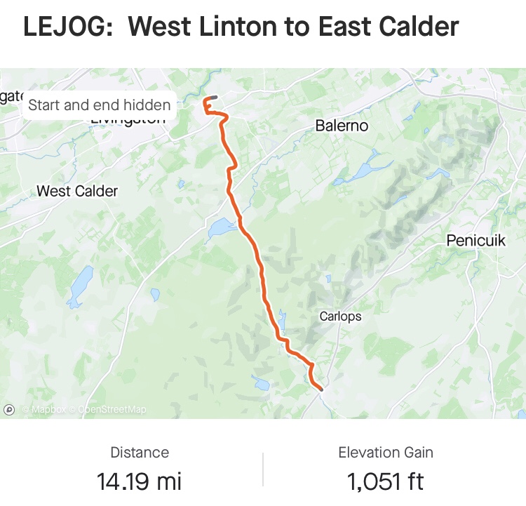
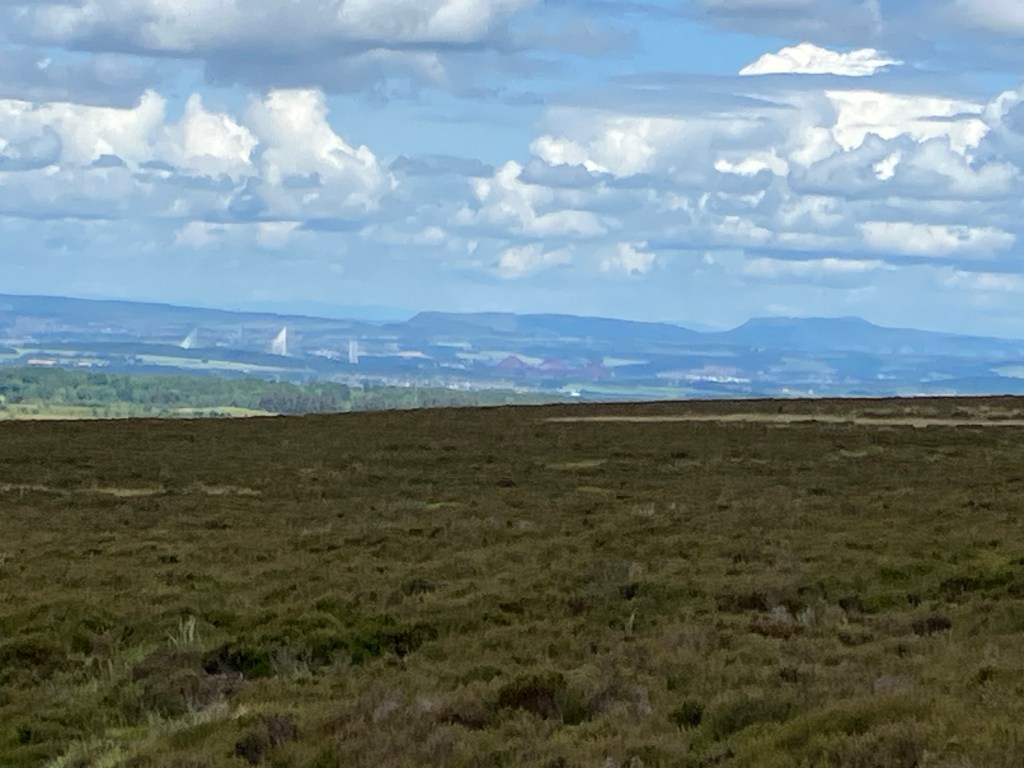
We decided to put on our waterproofs before leaving West Linton, as rain was forecast once again. However it remained dry all day, and the sun managed to show its face from time to time! Once again we were following the Cross Borders Drove Road, with a long, steady climb uphill, passing Baddingsgale Reservoir, up to Cauldstane Slap. As we descended from the pass, we had clear views of Edinburgh: the Firth of Forth Bridges and Arthur’s Seat. The Lowlands were spread before us and our route to East Calder was straight forward, until we found our path through the village closed because of extensive building works, so were faced with a long detour.
Our B & B was very comfortable, but no bath – and we had a further half mile walk to the pub for our evening meal, but fortunately no rain!


A Backward Glance
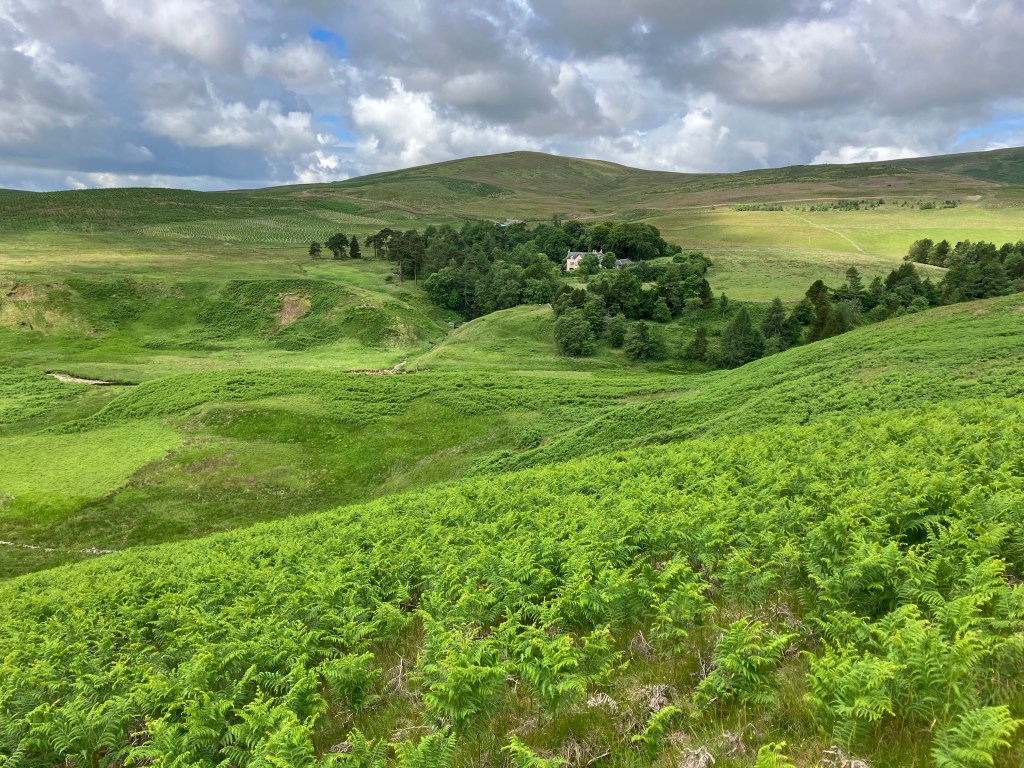
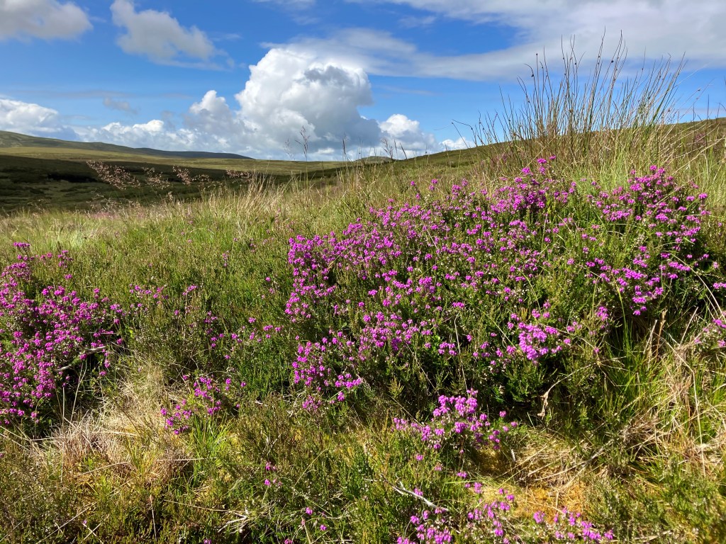
Carol and I put on our underwater walking gear and headed out into the sunshine on The Old Drovers Trail again – the weatherman on TV persuaded us, but it didn’t rain all day. We were soon treading paths over hills of ferns and where islands of blossoming heather emerged between thick tufts of sedge. It was a continuous but gentle gradient to the high point where we could look down into the flat lowland plain before us, promising us some days of easy walking ahead. On the winding descent we met a grey bearded gentleman walking towards us. He smiled and remarked “what are you two doing out here?”. We’re on our way from .. “you’ve got some serious bags, I like to travel light” he interrupted, pointing to a small mountain on his back with rolled up stuff on the top and more rolled up stuff on the bottom. “I’ve enough in here to last me four days!” He had maps sticking out of every pocket and after Carol explaining we were on our way to East Calder he promptly informed us that it was a long way to go and meant having to walk along a busy main road as there were no paths to Calder. Carol showed him her Komoot route and he nodded his head from side to side and said there are no footpaths on the other side of the main road and he pulled out his phone with Ordnance Survey details to prove it. “If it’s not on the Ordnance Survey Map, it’s not there”, he assured us. The conversation continued and things got grimmer: the school summer break has begun so getting accommodation along the West Highland Way will be impossible. I thought to myself, another weather man. We got to the road where we did see a path on the opposite side leading up to what appeared to be a wooden seat and a figure sitting on it. His name was Hamish Clark, retired and a volunteer inspecting path furniture (stiles, marker posts and bridges etc). The seat turned out to be a small bridge that served a dual purpose, as Hamish put it. Hamish was not a weatherman, he was a Sage. We asked him about the path to East Calder. He’s one of those people who think quietly for about a minute before answering a question, but when we left him we knew exactly the route to take and what to expect along the way. He also warned us about rain tomorrow, so he may have been a weatherman after all.

Leave a comment